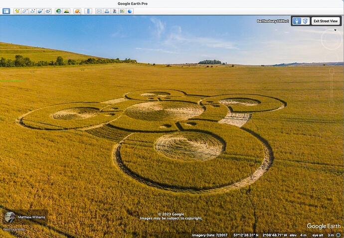
This is an image taken from Google Earth. It shows what the street view ‘sphere’ reveals at Battlesbury Hill Fort near Warminster. Image date is 2017, no idea of how accurate that is! The feature is a crop circle-type creation in the farmland consisting of several interlinked circles.
.
I’m adding this for Steve Smailes who wondered what I meant in a comment on an observation he made on the path that leads up to the Hill Fort, since he could’t see the image on his device.
Hope you can see this, Steve ![]()
The image is a 360 fish eye thing that shows all around, I’ve just screenshotted a bit of course.
.
Please advise, curator, if this is inappropriate in terms of copyright.

